
Walk an East Honolulu Street
Begin with one complete address and keep the spelling shown by the source. East Honolulu addresses commonly use Honolulu as the postal city even when residents use Hawaiʻi Kai, ʻĀina Haina, Portlock, Kuliʻouʻou, or Kalani Iki. The postal label, neighborhood, Census boundary, neighborhood-board area, and parcel are different geographic layers. A sound street directory result keeps those layers apart.
The practical chain moves from an address to a parcel, then to dated records. Each source answers a narrower question. The City and County of Honolulu handles parcel, assessment, GIS, and permit records. Hawaii's Bureau of Conveyances holds deeds and other land instruments statewide. Historical directories and newspapers supply older address evidence.
- Normalize the house number, suffix, street name, type, city, state, and ZIP while saving the address exactly as printed.
- Run the address in DPP property search and note its TMK, the Tax Map Key used to identify an Oʻahu parcel.
- Open Honolulu GIS to view that parcel and the adjoining lots along the road.
- Check assessment and permits, noting whether the result came from POSSE, HNL Build, or Data Access and Imaging.
- Use the TMK and names in the Bureau of Conveyances index, then consult old street sections for earlier evidence.
This sequence makes the East Honolulu street directory useful without turning an owner name into an unsupported occupancy claim.
East Honolulu Address Search Fields
The official DPP POSSE property search accepts address parts or an eight-digit TMK. Its form separates house number, a dashed prefix when needed, house suffix, and street name. The street field omits the street type. For TMK searching, punctuation is removed. Thus a displayed key such as 1-0-033:010 becomes 10033010.
| Search label | Entry | Format note | Purpose |
|---|---|---|---|
| House Number | Number | Split a dashed prefix when shown | Starts the match |
| House Suffix | Text | Use only when official | Separates similar numbers |
| Street Name | Text | Leave off road, drive, or avenue | Finds the road record |
| TMK | Eight digits | Remove punctuation | Links property and permits |
The DPP property-search guidance explains the format and the property, permit, subdivision, and address-change areas.
East Honolulu Permit Record Split
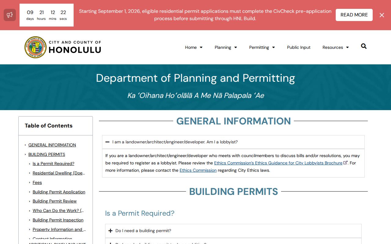
A permit search now spans two systems. POSSE's visible data cutoff is July 28, 2025 at 5 p.m. New applications moved to HNL Build on August 4, 2025, while older data continues to migrate. A blank result in one system is not a clean finding. Check the other, then request the file from DPP Data Access and Imaging when the summary omits plans or older records.
Permit history can date construction, additions, address changes, subdivisions, and review activity. It can expose zoning, flood, Special Management Area, approval, and plan-review information. It still does not name every person who used a property. Record the system, retrieval date, TMK, permit number, and status beside each hit.
Record freshness. A full East Honolulu address search may require POSSE, HNL Build, and a DAIB request because migration is still underway.
East Honolulu Street Record Map
No public office keeps one live household roll for East Honolulu. Instead, the street directory draws on address-keyed systems whose coverage and meanings differ. The best evidence is dated and cited to the office that created it.
| Address source | Keeper | Contribution | Access |
|---|---|---|---|
| Assessment | Honolulu Real Property Assessment | Situs, TMK, class, values, lot and building traits | Portal and office |
| Parcel map | Honolulu GIS | Parcel UID, TaxPIN, physical address, area, owner or lessee fields | GIS and open data |
| Permits | Honolulu DPP | Applications, approvals, plans, subdivision and address records | POSSE, HNL Build, DAIB |
| Land instruments | Hawaii BOC | Deeds, mortgages, liens, releases and Land Court records | Index, images, room, request |
| Street ranges | Neighborhood Commission Office | House ranges and ZIP references | Official PDF |
| Old entries | Archives, UH, FamilySearch | Names, work, businesses and addresses by year | Scans and repositories |
Do not merge these rows into one undated profile. An assessment owner, GIS landowner, deed grantee, permit applicant, mailing addressee, and printed directory occupant can all differ.
Map East Honolulu Street Parcels
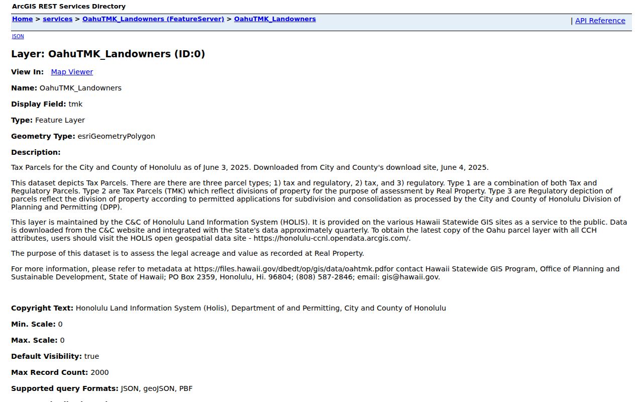
Honolulu GIS connects an address to nearby parcel geometry. The Oʻahu TMK layer includes Physical Address, TaxPIN, Parcel UID, recorded area, Landowner, Lessee, Sub-Lessee, contact, and notes fields. These are operational map attributes. They are not a survey, title certificate, or promise that a field is current.
The official Oʻahu TMK landowner layer shows the schema behind parcel browsing.
For a whole road, browse parcels in sequence and retain each parcel key. Map shapes alone may miss condominium regimes, recent subdivisions, merged lots, or an address whose mailing label differs from its physical location.
East Honolulu Street Terms
Several terms recur in East Honolulu records. Clear definitions stop a street directory from treating distinct address and land concepts as synonyms.
- Parcel
- A mapped unit of land used for tax and record purposes. One address may involve several parcels or a condominium interest.
- Situs address
- The physical location assigned to a parcel, which can differ from an owner's mailing address.
- Plat
- A recorded map of lots, boundaries, roads, or a subdivision. GIS helps browsing, but a plat and title document carry different weight.
- Criss-cross directory
- A historical directory arranged by street and number instead of only by surname.
Keep original spelling and Hawaiian diacritics in an address-as-printed field. A separate normalized version can support matching without erasing how the record was made.
Deeds Along East Honolulu Streets
Hawaii has no Honolulu County recorder. The Bureau of Conveyances is the statewide keeper of Regular System and Land Court instruments. Online records generally begin in 1976. Earlier work goes through the Kalanimoku public research room or a written request. Basic searching is free, while images, copies, service, account, and subscription options may cost money.
Use a known owner or citation from the parcel stage to search deeds, mortgages, liens, easements, releases, and other instruments. A grantor transfers an interest; a grantee receives it. The index points to a document but gives no title advice. Compare instrument date, recording date, system, number, land description, and TMK before tying a name to the street.
Document numbers changed over time. Older citations use liber, book, and page. Records from 1990 through 2011 generally use year and number, 2012 through July 31, 2024 use eight digits, and those from August 1, 2024 use ten digits. Land Court documents use T plus up to seven digits. This numeric history often explains a failed first search.
East Honolulu Streets Cross Labels
The official Honolulu street index shows why one road can cross practical ZIP or neighborhood labels. It lists Hawaii Kai Drive in 96825, Hawaii Loa Street in 96821, Maunaloa Avenue ranges in 96816, and Maunalua Avenue ranges in 96821. The index is dated, so it is a finding aid rather than a current postal survey.
Check a full address with USPS when the ZIP matters, then compare parcel and Census geography. East Honolulu CDP intersects 96816, 96821, and 96825 unevenly. Honolulu is the usual postal city. None alone proves that an address is inside the statistical CDP or broader planning area.
Note: Save the ZIP source date because postal routes, street ranges, and agency boundaries can change independently.
Older East Honolulu Street Evidence
Historical address work uses year-specific scans, not a current reverse lookup. State Archives and UH hold Husted, Polk-Husted, and Polk runs. Alphabetical, business, and street sections may show a printed name, occupation, and residence or business address. Older volumes describe Honolulu broadly and may omit today's East Honolulu labels.
Modern streets near Maunalua also rest on a changed landscape. Kalanianaʻole Highway began in the late 1920s and was completed in 1932. After 1959, development of Kuapa Fishpond formed the Hawaiʻi Kai marina and peninsula pattern. A missing old address may mean the road, lot, shore, or place label did not yet exist in modern form. The East Honolulu city directory collections cover the historical shelf in depth.
East Honolulu Street Directory Limits
A parcel record can identify assessed land, an owner field, or mailing contact. It cannot establish every person at the property. A deed records a land interest, not a household. Permits document work. Historical directories are snapshots that may omit people, use old names, or list a business address.
Voter data does not fill the gap. Full name, district or precinct, and status have a public component under HRS §11-97, while most affidavit data is restricted and broader files require an official lawful-purpose request. There is no public online East Honolulu voter-by-address directory. Address Confidentiality Program records under HRS chapter 801G require care, and a protected address must never be sought or published.
Lawful use. Use East Honolulu address records for a defined legitimate task, and never combine them to expose, stalk, harass, intimidate, or harm a person.
When evidence supports only ownership, say ownership. When it supports a dated directory appearance, cite that year. Stop when the next step needs a private roster, restricted affidavit, confidential account, or a guess about who lives there.