
East Honolulu Neighbor Record Layers
Public records can describe the block around an East Honolulu address without producing a complete people list. Honolulu GIS establishes physical adjacency. Assessment and DPP records describe parcels and buildings. The voter system exposes only narrow public fields under Hawaii law. Neighborhood Commission files name public board members and civic events, while historical directories may show a block in a past year.
| Official layer | Block-level evidence | How to reach it |
|---|---|---|
| Honolulu GIS/TMK | Parcel edges, physical address, TaxPIN, parcel UID, area, and published land-interest fields | Map click or layer query |
| Real Property Assessment | Assessment, class, land/building details, and any displayed owner field | Address or TMK portal |
| Voter public fields | Full name, district/precinct, and status allowed by HRS §11-97 | Official election request; not a block roster |
| Neighborhood boards | Boundaries, agendas, minutes, public members, and meeting contacts | NCO board directory |
| Historical directories | Printed names and addresses for a specific directory year | State Archives, UH, or FamilySearch |
Landowner, lessee, tax-mail recipient, directory resident, and present occupant can all be different. A trust or company may appear on a parcel. A mailing address may be elsewhere. Even a home-exemption field has the agency's tax meaning; it is not a public household roster. Date and label each result before comparing neighbors.
Read East Honolulu Parcel Popups
The Oʻahu TMK landowner layer publishes a defined schema. It can return Physical Address, TaxPIN, Parcel UID, CCH Parcel Type, In Date, a public-record link, Recorded Area Acres, Landowner, Lessee, sub-lessee fields, Contact Info, and Notes. Not every field is filled for every parcel. The operational layer can change and is not a survey or title certificate.
- TMK and TaxPIN
- Parcel keys used across Honolulu property systems. Search forms often remove punctuation.
- Parcel UID
- The GIS feature identifier that helps distinguish adjoining map shapes.
- Situs address
- The physical parcel address, which can differ from a tax mailing address.
- Recorded area
- The layer's area value, not a substitute for a boundary survey.
Map East Honolulu Neighbor Parcels
Use the map itself to decide which parcels form the immediate block. A home across a canal or beyond a school tract may have a close street number without being physically adjacent. Keep the map date and each parcel UID, then check assessment data one parcel at a time.
- Find one known address in Honolulu GIS and confirm its physical address and TMK.
- Click only the parcel shapes that touch it or clearly share the same immediate block.
- Record parcel UID, TaxPIN, source date, and any official landowner or lessee field shown.
- Check assessment or DPP records for the parcel, while keeping owner and occupant separate.
- Move to the full East Honolulu street directory only when the question expands beyond the block.
Do not publish every nearby owner or mailing address by default. A compact research note can describe parcel form, public land use, street access, and civic boundary without assembling a personal dossier.
East Honolulu Civic Neighbor Boards
Three Neighborhood Commission areas supply the main public community layer. They are not HOA, ZIP, parcel, or Census boundaries. Their value lies in public agendas, minutes, meeting notices, board members, vacancies, and testimony channels.
Hawaiʻi Kai Board No. 1
Formed March 1, 1977. Its official boundary runs from Makapuʻu Point along the south coast and around Kuapa Pond and inland ridges.
Kuliʻouʻou–Kalani Iki No. 2
Formed May 16, 1975. The board spans the coast and ridge area west of Kuapa Pond toward Waiʻalae.
Waiʻalae–Kāhala No. 3
Formed April 16, 1976. It covers the western civic area toward Diamond Head and the Kalanianaʻole corridor.
The Honolulu Neighborhood Commission board directory shows the official civic contact layer:
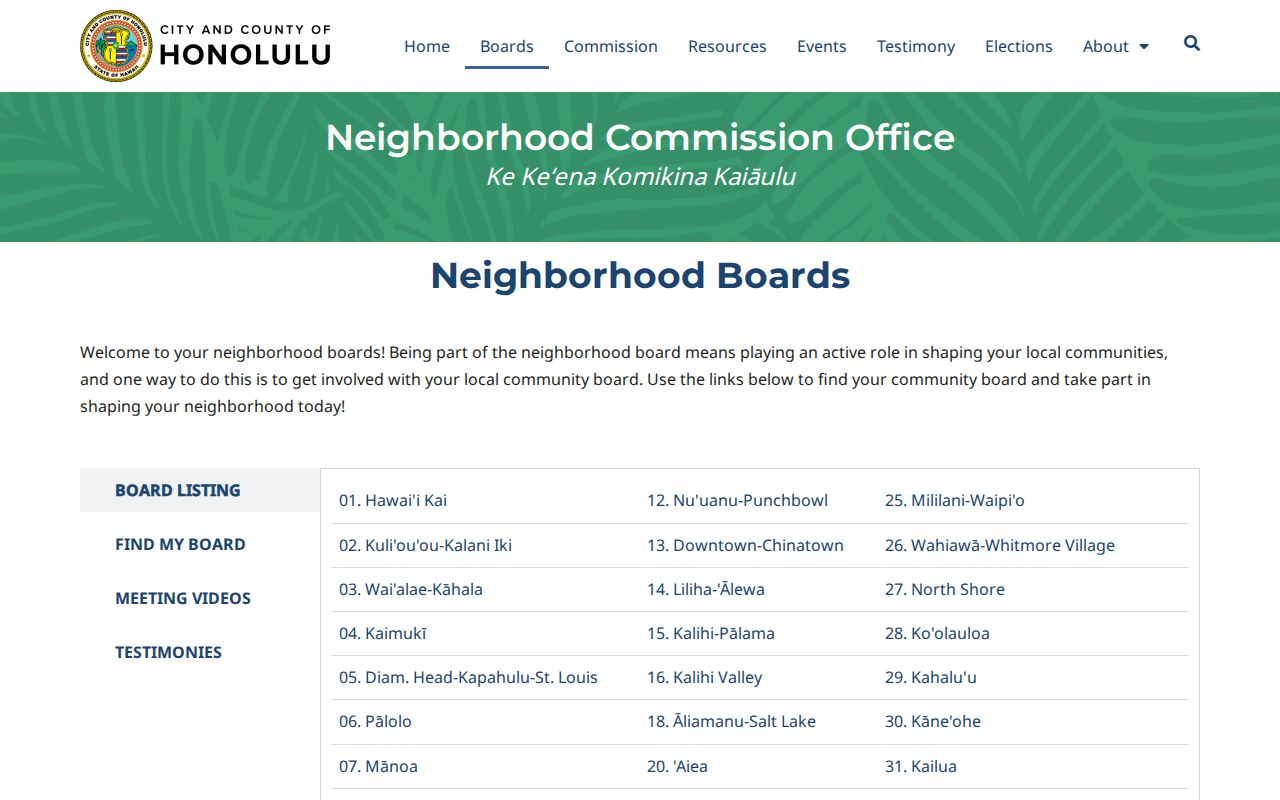
The screenshot supports board and meeting research. It does not identify all East Honolulu neighbors or private association members.
Libraries Connect East Honolulu Neighbors
Aina Haina Public Library and Hawaii Kai Public Library offer a public, place-based community layer through newspapers, periodicals, computers, Wi-Fi, copying, meeting space, and programs. Aina Haina opened in 1962; Hawaii Kai opened in 1973. Public meeting notices also place neighborhood-board work in familiar schools and libraries.
The Aina Haina branch page documents one local research point:
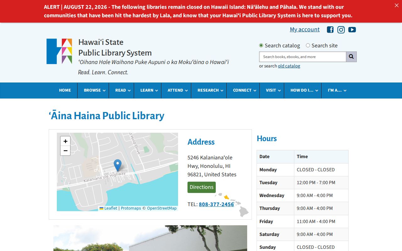
This public institution helps locate news and civic records without revealing patron identities or private household membership.
Maunalua Reshaped East Honolulu Blocks
Modern Hawaiʻi Kai parcels must be read against a changed shore. Kaiser-era work after 1959 transformed Kuapa Fishpond through dredging and filling, creating marina and peninsula landforms. Current neighbors around a water edge may occupy parcel patterns that did not exist on an older map.
The UH Maunalua historical mosaics provide aerial context:
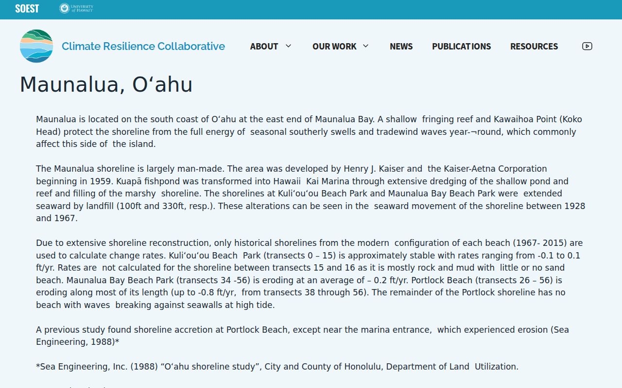
The image explains why adjacency should come from the dated parcel map, not from an assumption that an old shoreline or road still matches.
East Honolulu Voter Fields Stay Narrow
HRS §11-97 makes a voter's full name, district and precinct, and voter status public. Most other affidavit information is restricted. Online voter registration uses identity checks for a person's own transaction and is not an open block directory. No public participation history or party roster should be inferred.
For civic geography, use district maps, aggregate statistics, and the Honolulu Elections Division. If a broader file is sought, verify the current official request, affidavit, purpose, permitted fields, format, and fee. The research did not locate a current consolidated protocol, so no casual block-search method should be promised.
Official East Honolulu Neighbor Sources
Commercial neighbor tools may merge old addresses, guessed links, and copied data without a clear record date. Official systems are narrower, but they identify the custodian, field meaning, and limits.
| Question | Official source | Commercial category risk |
|---|---|---|
| Which lots touch? | Dated Honolulu GIS parcel layer | Street proximity may replace true adjacency |
| Who holds a land interest? | Assessment, GIS, and BOC with dates | Owner, mailing party, and occupant may be merged |
| Who represents the area? | NCO public board directory | Private groups may be mislabeled as official |
For East Honolulu neighbors, the official route is slower but far easier to audit. Cite the portal, query key, record date, and access date.
Freshness matters as much as provenance. GIS layers can change, assessments have effective dates, and DPP permit history is split between the legacy POSSE system and HNL Build. Save the date and system name beside each note. If two official records disagree, report the difference instead of choosing the answer that seems more personal. The mismatch may reflect a recent transfer, a lease, a mailing contact, or a migration lag.
Protect East Honolulu Neighbors
There is no official public HOA member roster for the East Honolulu communities found in the research. Renters and household members are not reliably indexed by parcel systems. Hawaii's Address Confidentiality Program under HRS chapter 801G gives qualifying survivors a substitute address and mail forwarding. Never seek or disclose the protected address.
Utility, library-patron, delivery, restricted voter-affidavit, and private association data do not become public merely because the block is of interest. Stop when identity remains ambiguous. Public civic records can explain a neighborhood without exposing its households.
Lawful use. Research East Honolulu neighbors for civic awareness or personal safety. Never use block records to watch, intimidate, expose, or harass anyone.