
Find East Honolulu Residents
A useful search begins with the strongest known key. An exact address points first to DPP and the tax parcel. A full name can be checked in a deed index, court party search, or a dated historical directory. A case or document number is stronger than a name. A year and old street spelling guide archive work. Keep every result tied to its source and retrieval date.
Public records do not form a complete household list. Parcel ownership is not occupancy. A voter record has limited public fields. A directory entry is only a snapshot from its publication year. Use the East Honolulu residents directory as a routing method, not as proof that every person connected to an address lives there now.
- Write down the full name, address, phone, year, or record number already known.
- Match the address through Honolulu property, permit, and GIS systems.
- Use the Hawaii Bureau of Conveyances for recorded land instruments.
- Check the appropriate Judiciary, elections, vital-record, or archive index for the defined question.
- When online coverage ends, visit the custodian or send a focused written request.
East Honolulu Records Geography
East Honolulu is a Census-designated place, or CDP, with GEOID 1506290. It has no separate mayor, recorder, court, or vital-record office. The City and County of Honolulu is a consolidated government, while deeds, courts, vital records, and many other records are statewide. A postal address may say Honolulu even when local usage says ʻĀina Haina, Kuliʻouʻou, Portlock, Hahaʻione, Kalama Valley, or Hawaiʻi Kai.
The broader East Honolulu planning area is also not the same as the CDP. It extends from Makapuʻu Point toward Waiʻalae Nui and uses the Koʻolau Range, shoreline, and Maunalua Bay as major limits. Neighborhood boards, ZIP areas, parcels, and Census boundaries add more layers. Label the geography actually used instead of forcing each source into one map.
Three meanings. An East Honolulu CDP record, Honolulu postal address, and Hawaiʻi Kai board-area record may concern related but non-identical places.
East Honolulu Residents Directory Offices
No single counter holds the full East Honolulu residents directory. These offices own the principal current routes. Contact the agency responsible for the existing record, not a generic city office.
Honolulu Elections
530 South King Street, Room 100
Honolulu, HI 96813
808-768-3800
The Hawaiʻi Kai Satellite City Hall at 6600 Kalanianaʻole Highway is a local service point, but it does not keep a separate East Honolulu archive. Court requests go to Hawaii Judiciary and First Circuit. Certified vital records go to the statewide Department of Health, except divorce records transferred to First Circuit and Family Court in 2026.
East Honolulu Property Record Keys
The Honolulu Real Property Assessment portal is a strong address anchor. The record-review guide documents current and historical assessments, tax information, classifications, land and building descriptions, lot size, living area, bedrooms, bathrooms, exemptions, and appeals. These fields describe a taxed parcel and structure. They do not establish who is home.
The successful portal capture shows the official assessment route used for East Honolulu records.
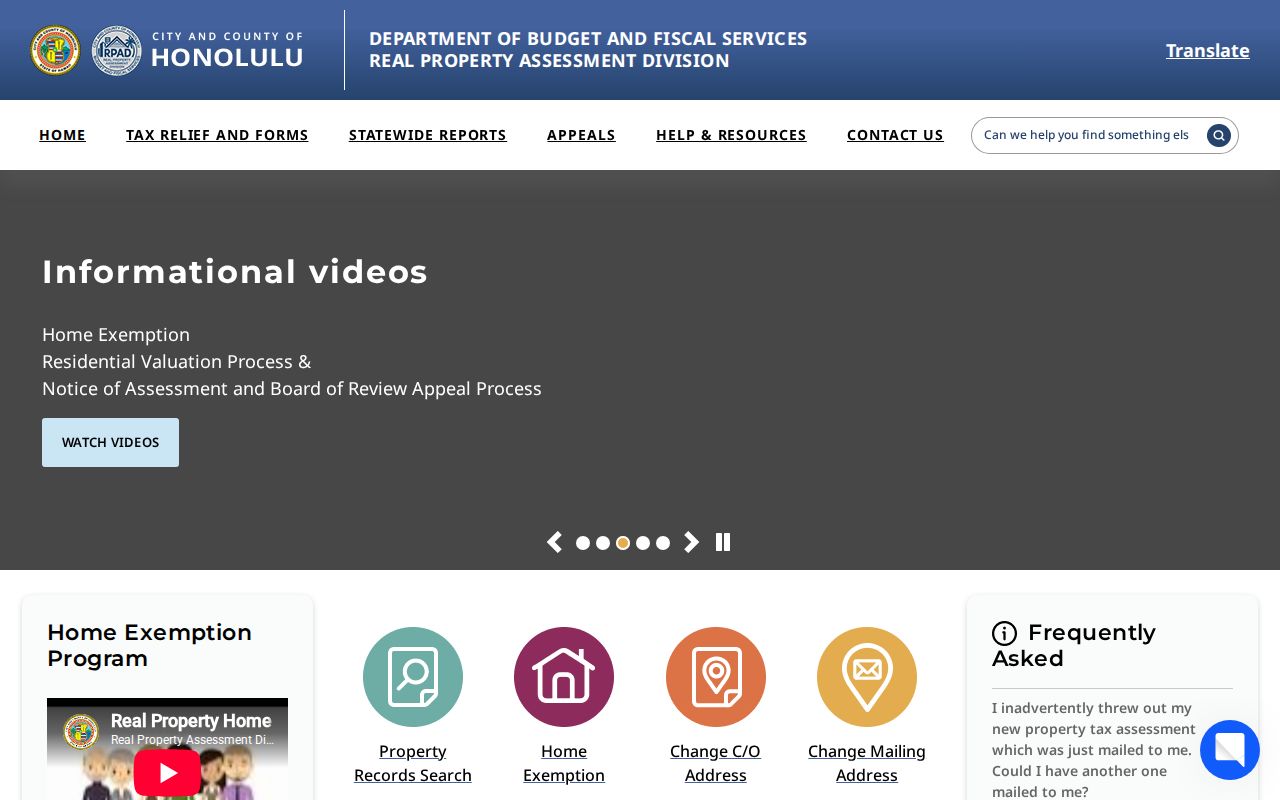
Save the situs address, TMK or TaxPIN, assessment year, land and building class, and source date. A situs address is the parcel's physical location. A mailing address can differ and may be sensitive. Owner, landowner, lessee, mailing addressee, and occupant are separate concepts.
Search East Honolulu Addresses
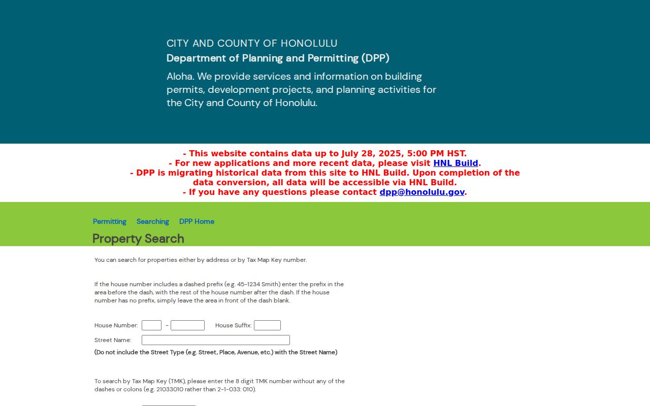
The DPP POSSE search accepts an address or TMK and provides property, permit, subdivision, trenching, address-change, and related paths. Its visible cutoff is July 28, 2025 at 5 p.m. New permit applications moved to HNL Build on August 4, 2025, while older records continue to migrate. Data Access and Imaging supplies plans and files not shown in summaries.
| Portal field | Input | Format | Why it helps |
|---|---|---|---|
| House Number | Number | Separate dashed prefix if shown | Begins an address match |
| House Suffix | Text | Use only when assigned | Separates similar sites |
| Street Name | Text | Omit street type | Locates the road record |
| TMK | Eight digits | Remove punctuation | Links permits and parcel data |
The portal capture preserves the official search context.
Current East Honolulu Directory Sources
Each official source lists a limited class of names or records. None is a general roll of all East Honolulu residents. Compare only fields created for the same purpose.
| Official source | What it can confirm | Keeper | Access channel |
|---|---|---|---|
| Assessment and GIS | Parcel, situs, building traits, dated owner or lessee fields | Honolulu County | Portal, map, open data, office |
| Recorded instruments | Parties to deeds, mortgages, liens and releases | Hawaii BOC | Online index, paid image, room, written search |
| Voter public fields | Full name, district or precinct, status | State and county elections | Registration service or authorized request |
| Court docket | Party role, case, filing and disposition fields | Hawaii Judiciary | eCourt, purchased document, clerk request |
| Historical directory | Dated name, occupation, business or address entry | Archives and libraries | Scan, microfilm, hard copy, staff help |
| Neighborhood board | Public board members, meetings and testimony | Honolulu NCO | Agendas, minutes, contact directory |
Private HOA membership was not found in an official public roster. Public neighborhood boards offer civic contacts, not a household list. Commercial people-finder products may be less current and less transparent than the original records, so verify any useful lead at the official source.
East Honolulu Names in Deeds
The Hawaii Bureau of Conveyances document search covers Regular System and Land Court instruments statewide. Online records generally begin in 1976. Pre-1976 research requires the BOC reference room or a written search request. Basic index searching is free, while images, copies, certification, accounts, and subscriptions can involve fees.
The captured document search is the official name and instrument route.
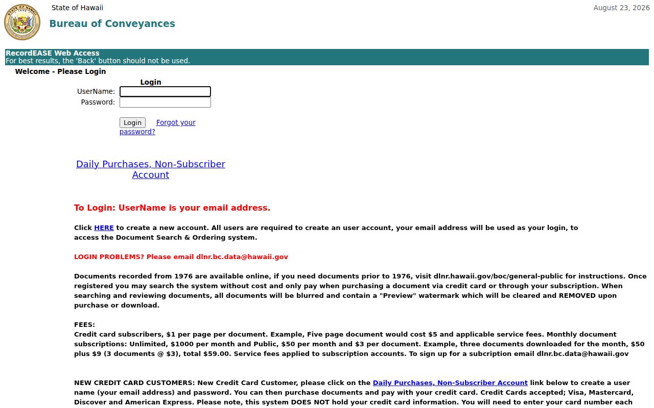
Search by grantor, grantee, document number, document type, date, and property clues when available. A grantor transfers an interest; a grantee receives it. The index is not title advice. Document-number formats changed across book and page, year-number, eight-digit, and ten-digit eras, so an old citation may require another search mode.
East Honolulu Voter Record Limits
Hawaii's Online Voter Registration service supports registration tasks and status checking. Under HRS §11-97, full name, district or precinct, and voter status have a public component. Most affidavit information is confidential. Broader files require an official request or affidavit and a lawful election or government purpose. The source does not publish an East Honolulu street roster or voting history.
The official registration capture shows the service residents reach online.
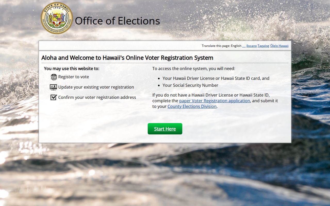
Use election data to verify a defined public field or map a precinct, not to infer a person's party, ballot choices, or presence at an address. The 2025 federal dispute over Hawaii's statewide file illustrates the line between public fields and more detailed government-access demands, but it does not make the full file public.
East Honolulu Court and Vital Routes
First Circuit is the state-court jurisdiction for East Honolulu. eCourt Kōkua offers party, case, vehicle, hearing, and document modes. A name is only a lead. Confirm case number, court, type, filing date, party role, and disposition. Traffic coverage reaches roughly 1995, District criminal roughly 2012, and appellate roughly 2010, while other categories have different cutoffs. Older or unavailable records require First Circuit forms and clerk searches.
The statewide Department of Health Office of Health Status Monitoring handles birth, death, marriage, civil-union, verification, and genealogy requests. Under HRS §338-18, certified copies require direct and tangible interest. Genealogy access is available for events more than 115 years old, subject to the statute and repository rules. As of February 1, 2026, divorce records route to First Circuit and Family Court, not DOH.
Online forms require identity, eligibility, exact event details, payment, and delivery information. No open current person index replaces those steps.
Historical East Honolulu Residents Directory
State Archives, UH, and FamilySearch preserve a long Honolulu directory run. It includes an 1880–81 kingdom guide, McKenney in 1884–85, Hawaiian directory sequences, Husted from the 1890s into 1910, Polk-Husted through 1940/41, and later Polk island directories through 1987. Entries can show printed names, occupations, firms, and residence or business addresses. The full collection map appears in the East Honolulu city directory.
Older Honolulu is not today's CDP. Present-day East Honolulu land may have been recorded under Maunalua, Koolaupoko, Honolulu, or another historic label. Census schedules for 1866, 1878, 1890, and 1896 are incomplete, with major East Honolulu gaps. Missing names are not proof of absence.
A criss-cross directory sorts entries by street and number. An index points to another record or image. A parcel is a mapped land unit. A roll is a list maintained for one official purpose. Each term describes a limited source, not a complete resident profile.
East Honolulu Genealogy Archives
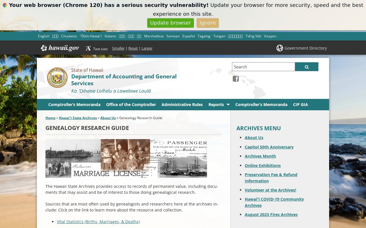
The Hawaiʻi State Archives genealogy guide routes research among vital statistics, newspapers, passenger manifests, probate, wills, divorce, naturalization, census, and obituary indexes. Its obituary index covers 1836–1950, mainly English-language Honolulu papers. Early vital series through 1929 can be incomplete reports, licenses, stubs, or indexes rather than full modern certificates.
The successful Archives capture shows the breadth of those historical paths.
UH Hamilton's Hawaiian and Pacific Collections adds reports, manuscripts, newspapers, maps, eVols, and digital images. Aina Haina and Hawaii Kai public libraries provide nearby computers, periodicals, Wi-Fi, copying, and staff help. These channels matter when a scan is restricted, OCR fails, or the needed year exists only on film.
Request East Honolulu Public Records
Hawaii's Uniform Information Practices Act, HRS chapter 92F, allows any person to request government records subject to privacy, privilege, confidentiality, security, law-enforcement, and other exceptions. It does not require an agency to create a new East Honolulu residents directory that it does not maintain. Address one office and one record class at a time.
A good request identifies the requester, agency, existing record or system, date range, address, TMK, case number, or document number, preferred format, and any fee-waiver basis. Ask for reasonably segregable public portions and an explanation of redactions. OIP guidance describes notice typically within ten working days and an automatic $30 fee waiver, while copying and other charges remain separate.
- Find the agency that created or keeps the record.
- Describe the smallest useful existing record set.
- Supply dates and stable keys, not a vague request for all residents.
- Choose inspection, electronic copy, or paper copy and ask about estimated fees.
- Save the request, response, redaction basis, and delivery date.
Special East Honolulu Record Systems
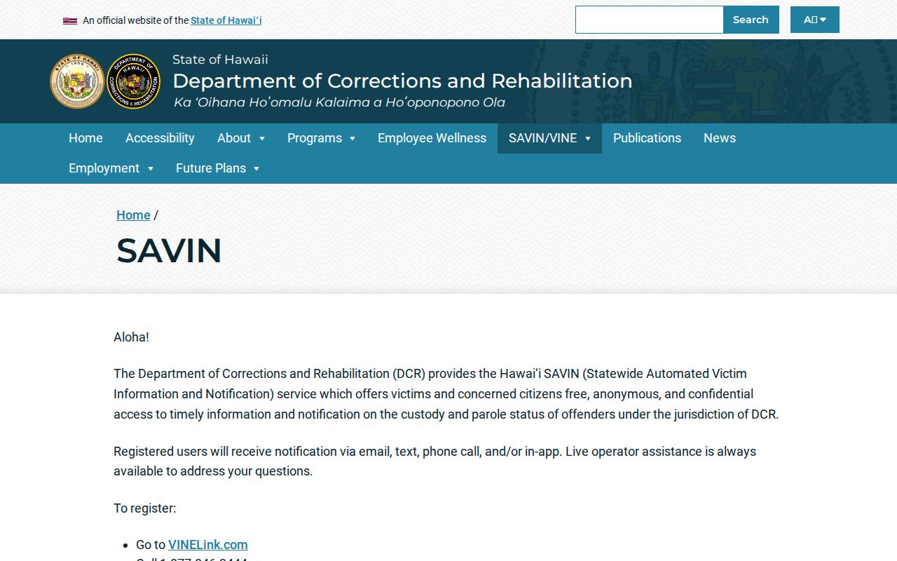
Some official name searches serve narrow purposes. Hawaii SAVIN/VINE provides current custody or parole status and notifications; no general public OCCC roster was located. The covered-offender registry is a separate public-safety service. Neither belongs in a general population roll. The DCR SAVIN page explains free, anonymous status and notification routes.
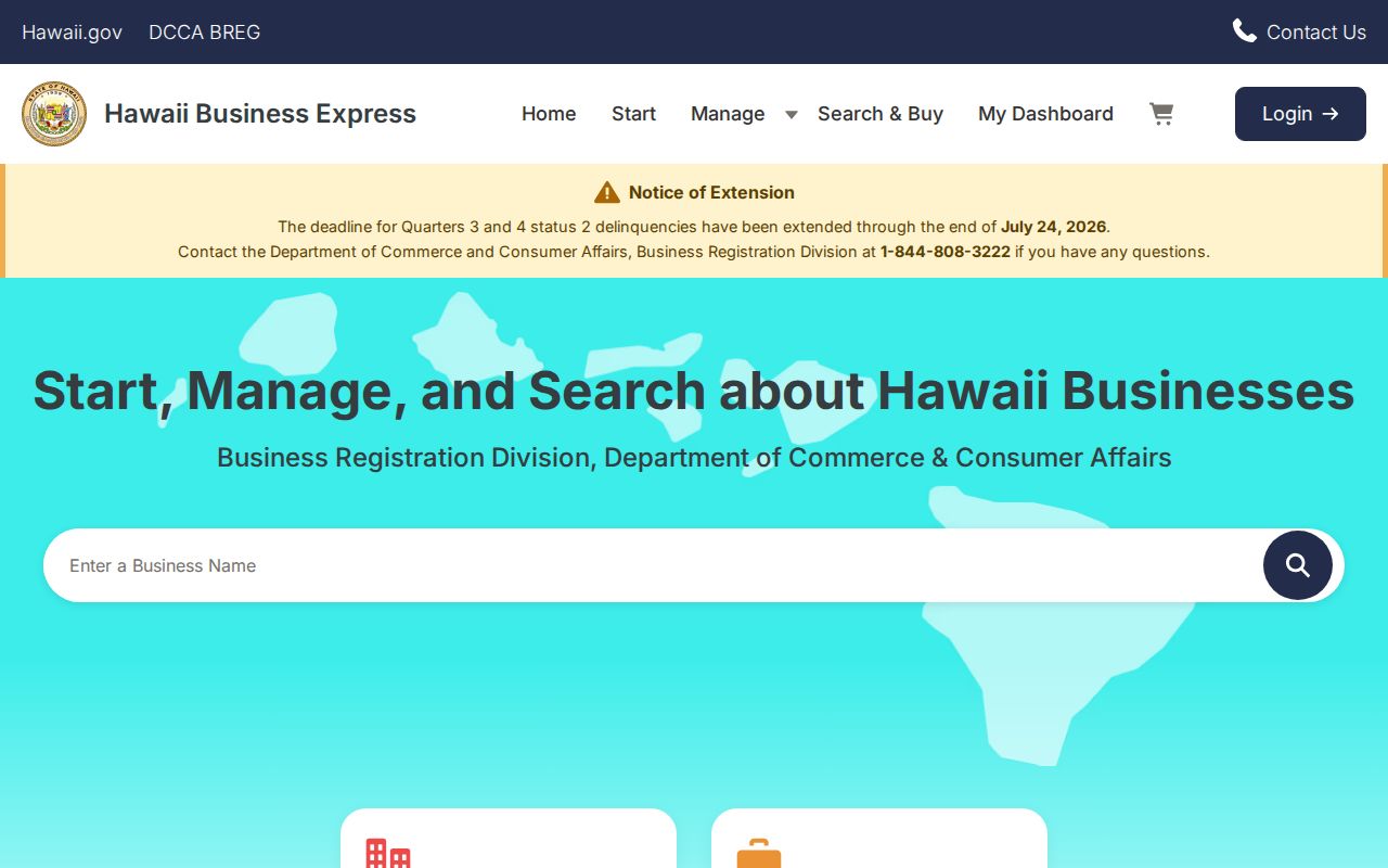
Business and professional records are also not residence lists. The official Hawaii business portal can identify an entity, status, filings, agent, or business address when shown. A principal office is not necessarily a person's home.
Maunalua Records Changed With Land
East Honolulu's records story follows its landscape. Kalanianaʻole Highway work began in the late 1920s and finished in 1932, creating a lasting transport and address spine. In 1959, Kaiser subsidiary development rights preceded the dredging of Kuapa Fishpond and formation of the Hawaiʻi Kai marina, roads, lots, and peninsula pattern through the 1960s. A modern parcel chain may therefore sit on reworked shoreline or former fishpond space.
UH Maunalua historical mosaics and a digitized Hawaiʻi-Kai street map make that shift visible. They explain why a present street, ZIP, parcel, or shore does not always line up with an old directory or aerial. Preserve the historic place name and map date instead of projecting today's address backward.
The same principle applies to population totals. The Census CDP count, East Honolulu planning target, and DPP neighborhood-area estimates use different boundaries. They cannot be summed or substituted. Geography is part of every record result.
East Honolulu Directory Updates
Several recent changes affect routing. State Archives digitized 64 index volumes in January 2026, including marriage, cemetery-burial, and landholding indexes. DOH transferred divorce records to the Judiciary in February 2026. eCourt Kōkua launched a refreshed accessible design in May 2026. DPP's POSSE-to-HNL Build migration remains in progress, and the business portal changed during July 2026.
These changes make “found online” too vague. Record the agency, portal, coverage cutoff, access date, and whether the source was a live result, a field guide, a scan, or a written response. Old bookmarks can lead to stale instructions even when the underlying record still exists.
Lawful use. Use East Honolulu records for a defined personal, genealogical, civic, property, or safety purpose, and never expose protected addresses or use records to stalk, harass, or harm anyone.
Address Confidentiality Program records under HRS chapter 801G, restricted voter affidavits, sealed court material, protected vital certificates, and private association lists remain outside the public directory path. Stop when the next step depends on restricted data or a same-name guess.